
QSSA provides more value to members and the wider community
QSSA is further enhancing its value to members with training sessions under QSSA Tech Division, that will provide members and interested parties with a professional advantage and confidence in understanding the finer details of the profession.
The Queensland Spatial and Surveying Association (QSSA) is the peak body for spatial and surveying professionals in Queensland. The organisation has begun making changes to provide even more value to members.
These changes include:
QSSA will be is implementing training programs as well as networking events.
- The Association will offer training sessions focusing on member needs to augment formal education to give professional advantage. Initially Training will be held in Brisbane and the Sunshine Coast with the likelihood of training in the regions in the coming months. , online video training is a possibility in the coming months.
- QSSA will also be giving more market updates during the coming year, providing valuable market information that could affect your business.
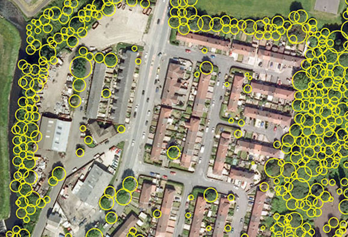
QSSA is excited to announce the first training program. The Processing Aerial and Terrestrial Data Course will be held on Friday the 23rd of March at 9:30am. The event is open to both members and non-members. This is course will provide land and engineering surveyors with the skills to process aerial imagery and terrestrial acquired scanned data to produce customer ready CAD information. The course aims to provide an up-to-date workflow that can be generically applied through any professional geospatial software.
The session will cover the following topics:
1. Data Acquisition Phase
A summary of data acquisition methods with an overview of their pros and cons.
2. Processing Aerial Imagery
How to easily process aerial imagery to obtain point cloud data.
3. Importing cloud and survey data
How to access and combine data sets in a 3D environment.
4. Editing and improving
How to easily manipulate large data sets for ease of editing and creation of contours, TINs and volume calculations. How to add 3D objects to complement survey information and create videos of enhanced projects.
5. CAD ready output
How to efficiently create line work to complement other CAD entities such as contours to extract to CAD packages for plotting.